Tiếng Việt
  English
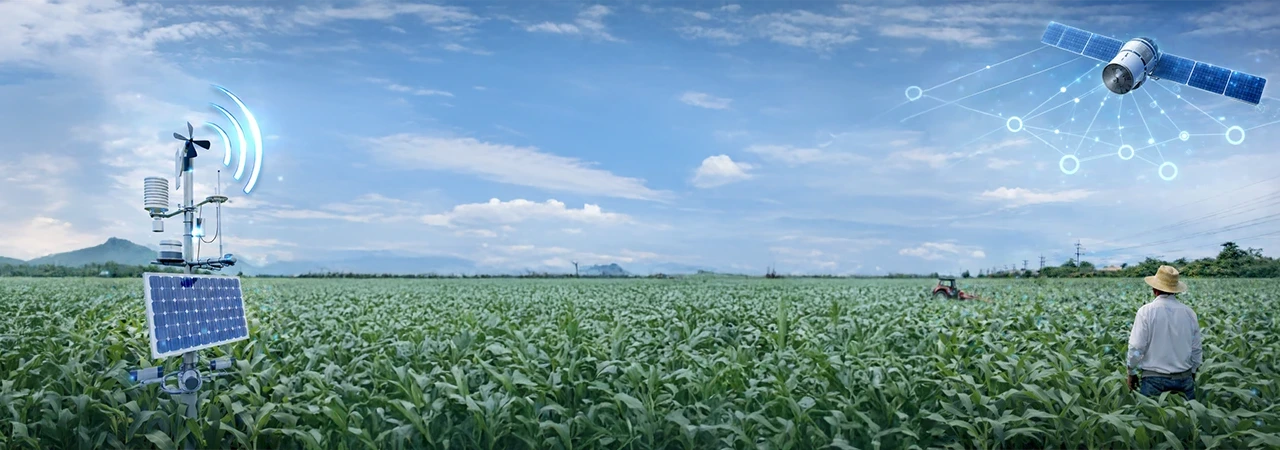
What Satellite Intelligence Does Well
Wide-Area Crop Health Monitoring
Satellites allow you to monitor thousands of acres simultaneously. By using vegetation indices like NDVI or NDRE, enterprises can visualize which regions are thriving and which are lagging. This knowledge can be further augmented by sending field scouts to assess and work on corrective measures. Farmers can determine the need and quantity of fertilization.
Yield Prediction and Trend Tracking
Using satellite images, enterprises can build historical crop performance models that predict yield outcomes with increasing accuracy over time. These models are particularly valuable for procurement teams who need to plan sourcing strategies months in advance.
Where Satellite Intelligence Falls Short
Despite its power, satellite imagery alone cannot provide the granularity needed for enterprise-level farm management. Cloud cover disrupts data continuity, resolution limits prevent plot-level assessments in smallholder contexts, and temporal gaps mean that fast-moving threats like pest infestations can go undetected.
The Power of Ground Intelligence
Ground-level data—collected by field scouts, IoT sensors, and farmer apps—fills these gaps. It provides real-time, hyper-local insights: soil moisture levels, pest identification, crop stage assessment, and more. For enterprises managing contract farming or outgrower programs, this ground truth is essential.
A Case Point: “Zone Sampling” – Where Scale Meets Science
Zone sampling combines satellite-derived vegetation maps with targeted ground sampling. Instead of treating an entire farm as one unit, it divides the landscape into zones of similar performance. Field scouts then collect samples from each zone, creating a statistically robust picture of the farm without visiting every plot.
The Shift Towards an Integrated Approach in Agriculture
AI as the Orchestrator of Multi-Source Farm Intelligence
AI-powered platforms like Cropin Intelligence integrate satellite imagery, ground data, weather feeds, and historical analytics into a unified intelligence layer. This approach ensures that decision-makers get the full picture—not just one dimension of it.
Conclusion
The future of enterprise farm intelligence isn’t about choosing between satellite and ground data. It’s about orchestrating both through AI to create a decision-grade intelligence layer that drives predictable outcomes at scale.